Land Surveying Solutions

Boundary Surveys
Our boundary surveying service provides accurate determination of property lines and corners. We use advanced GPS technology and traditional methods to establish precise boundaries for residential, commercial, and agricultural properties.
Key Features:
- Property line identification and marking
- Legal description verification
- Easement identification
- Encroachment detection
- Professional documentation for legal purposes
Topographic Surveys
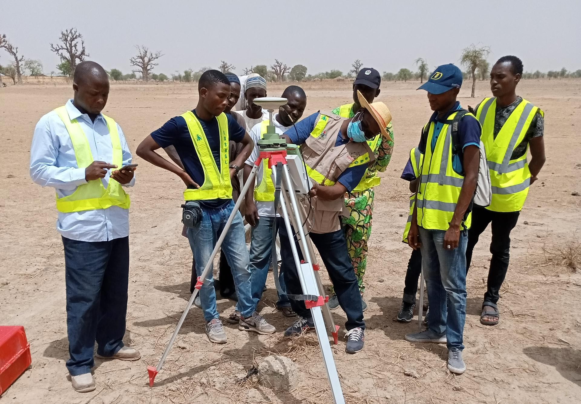
Topographic surveys map the natural and man-made features of a land parcel, including elevations, contours, trees, buildings, streets, utilities, and other improvements. Our topographic surveys are crucial for architects, engineers, and developers during the planning and design phases of construction projects.
Key Features:
- Contour mapping and elevation data
- Natural and man-made feature documentation
- Utility location and mapping
- Digital terrain modeling
- CAD-compatible deliverables

Construction Staking
Construction staking translates architectural and engineering plans into physical markers on the ground. We provide precise location markers for foundations, utilities, roads, and other elements to guide construction teams. Our service ensures that projects are built according to design specifications and within property boundaries.
Key Features:
- Foundation layout and marking
- Utility staking
- Road and pavement alignment
- Grade and elevation control
- As-built verification
Subdivision Planning
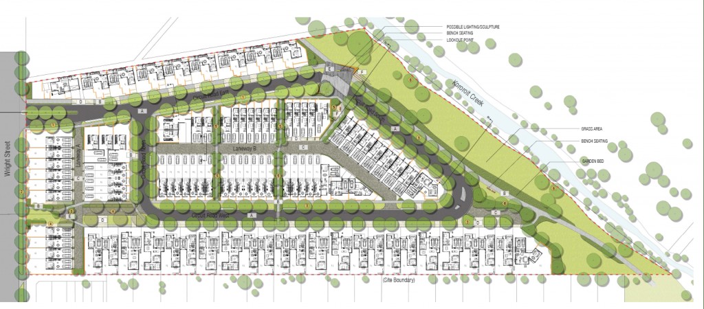
Our subdivision planning service assists developers in dividing larger tracts of land into smaller lots for development and sale. We handle the entire process from initial concept to final plat recording, ensuring compliance with local regulations and ordinances.
Key Features:
- Preliminary plat design
- Lot division and layout
- Street and utility planning
- Easement establishment
- Final plat preparation
Route Surveys
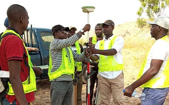
Route surveys are essential for linear projects such as roads, pipelines, power lines, and railways. We provide precise mapping of the proposed route, including topography, existing utilities, and right-of-way boundaries.
Key Features:
- Route planning and alignment
- Right-of-way determination
- Utility conflict identification
- Cross-section profiling
- Construction staking for linear projects
Flood Elevation Certificates
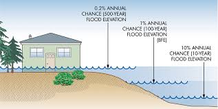
We provide official Flood Elevation Certificates that document a structure's elevation relative to predicted flood levels. These certificates are often required for insurance purposes and compliance with FEMA regulations.
Key Features:
- Elevation certification for insurance
- FEMA compliance documentation
- Flood zone determination
- Base flood elevation verification
- Professional certification and stamping